On Wednesday December 4, 2024, at 6:20 p.m. local time (9:20 p.m. UTC, 10:20 p.m. CEST) Copernicus Sentinel-1C will lift off from Europe’s Spaceport in Kourou, French Guiana onboard a Vega C launcher.
This mission, called “VV25”, operated by Arianespace, will place the Copernicus Sentinel-1C satellite, into Sun-Synchronous Orbit at an altitude of around 700 km. Spacecraft separation will occur 1 hour and 43 minutes after lift-off.
Sentinel-1C is part of Copernicus, the Earth Observation flagship of the European Union’s Space Programme and is the world’s most advanced Earth observation system. Copernicus provides continuous, free, and reliable Earth observation data and services to public authorities, companies and citizens around the globe.
Copernicus is managed by the European Commission and is funded by the EU with a partial contribution of ESA.
About Sentinel-1 Mission
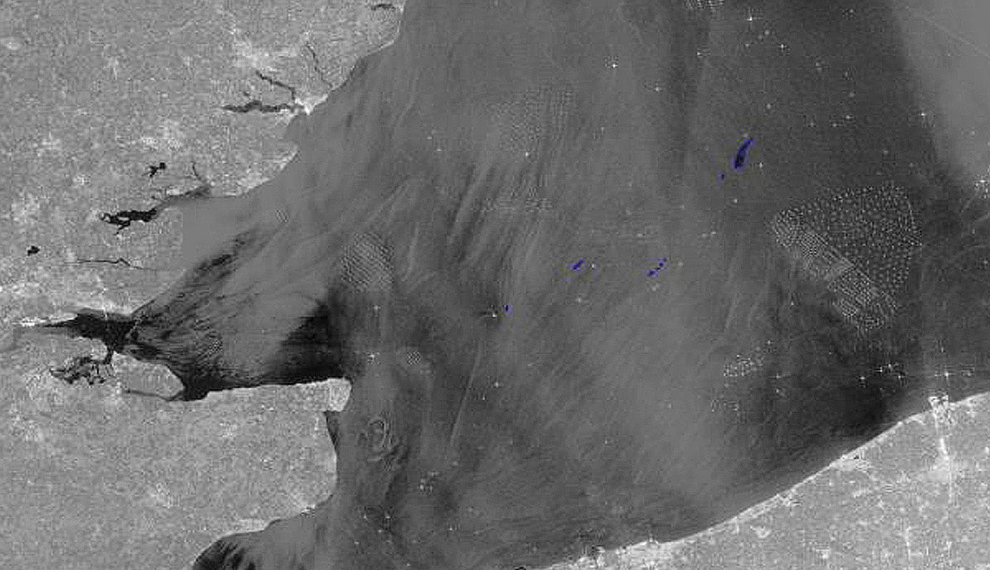
The Copernicus Sentinel-1 radar imaging mission is composed of a constellation of two polar-orbiting satellites providing continuous all-weather, day and night imagery for land and maritime monitoring. C-band synthetic aperture radar (SAR) imaging has the advantage of operating at wavelengths that are not obstructed by clouds or lack of illumination and therefore can acquire data during day or night under all weather conditions. Since its launch, the Sentinel-1 satellite mission has provided a vast amount of data across a myriad of applications, from environmental monitoring to disaster response.
The Sentinel-1 satellites currently publish over 95,000 products monthly, with over 2.3 petabytes of data downloaded by users worldwide, and are the only radar satellites whose data is available to users on a full, free, and open basis.
EMSA will integrate Sentinel-1C in its missions’ portfolio.

© European Maritime Safety Agency, contains modified Copernicus Sentinel-1 data, (2024)
&;

